Why Non-Towered Airports Are the Fastest-Growing Drone Corridors and What That Demands From Digital Tower Platforms
Digital towers can add sequencing authority where self-separation increasingly fails.
Digital ATC infrastructure can enable UAS and drone integration at non-towered airports by combining cameras, sensors, Remote ID signals, and UTM position reports with controller-led traffic coordination. These airports offer a low-friction entry into the National Airspace System, but self-separation cannot support dense mixed traffic. Digital tower platforms provide the operational architecture for closing that gap, provided their cost fits small-airport budgets and their deployment establishes sequencing authority.
Why non-towered airports are the natural default for drone operators entering the NAS
The absence of a control authority is the central attraction of non-towered airports for drone operators. The vast majority of U.S. airports in the National Airspace System have no control tower, mandatory separation authority, ATC fee structure, or slot constraints. Access follows a different operating model. Pilot-controlled lighting, self-announced radio calls on a Common Traffic Advisory Frequency, or CTAF, and visual scanning support operations without a tower directing each movement.
That arrangement offers geographic reach as well as procedural convenience. Non-towered airports serve communities and corridors where towered airports do not exist, giving drone operators access without an airport ATC approval queue or interaction requirement. It is an airport operating structure subject to airspace requirements but with fewer coordination gates than a towered field, which makes it a natural starting point for operators entering shared airspace.
The draw is structural rather than formally designated. These airports were not organized as drone corridors, and their self-announce practices were developed for a different traffic environment. Yet their combination of distributed locations and limited gatekeeping makes them the default nodes around which drone routes can develop.
How the proposed BVLOS rulemaking converts a structural preference into a systemic pressure point
Executive Order 14307, Unleashing American Drone Dominance, directed the FAA on June 6, 2025, to issue a proposed rule that would allow routine beyond-visual-line-of-sight operations for commercial and public safety purposes. It also directed publication of a final rule within a set deadline after the order, as appropriate. The FAA published the resulting proposed rule, designated Part 108, to establish requirements for BVLOS operations in U.S. airspace and normalize certain low-altitude UAS operations. Part 108 sets out a framework for how operations would work, with the change still to come.
That framework changes how traffic must be coordinated because a human observer alone cannot manage a drone beyond visual line of sight in shared airspace. UAS traffic management, or UTM, becomes an operational necessity. Non-towered airports sit beneath the uncontrolled airspace where most BVLOS routes will run, placing them at the geographic junctions of that network. Routine BVLOS access would draw still more traffic to these airports, leaving new traffic unevenly spread across airports.
The proposed requirements also expose an infrastructure mismatch. Part 108 would mandate Remote ID compliance for all BVLOS operations and require detect-and-avoid technology and conformance monitoring for operations in Class B or C airspace or over densely populated areas. Together, however, they describe an operating environment dependent on identification, surveillance, and coordination that most non-towered airports do not currently possess.
Why self-separation fails as the traffic density at non-towered airports rises
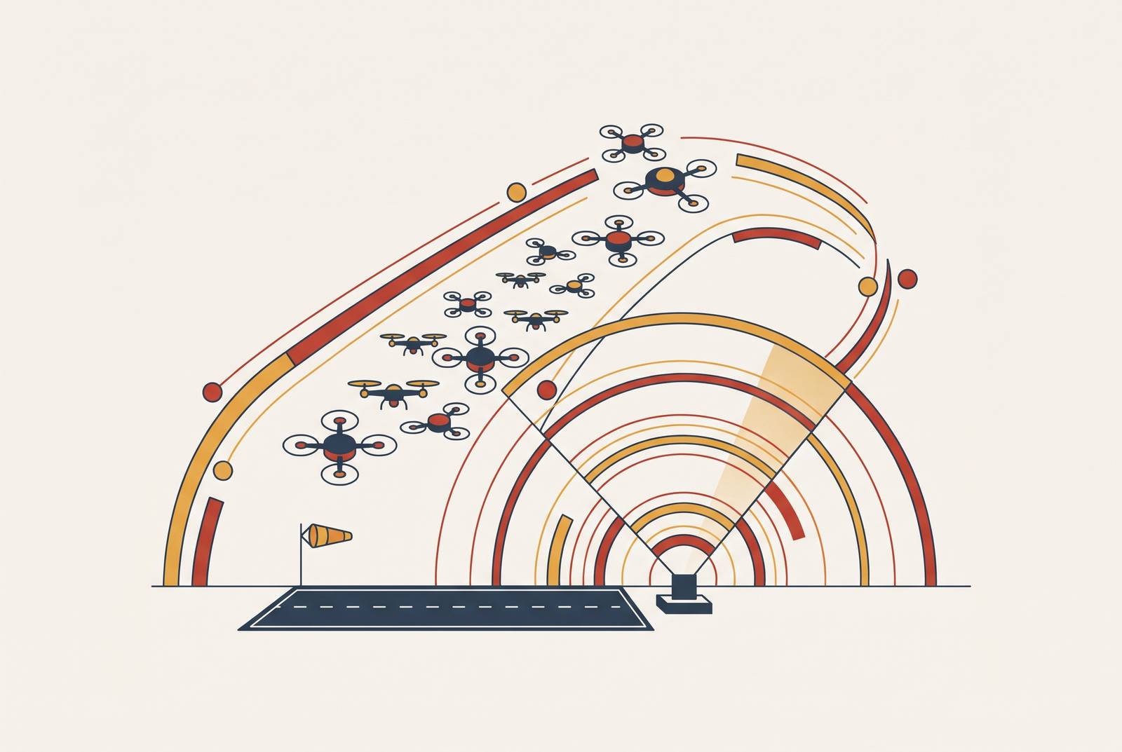
Self-separation depends on pilots building a sufficiently complete picture from voluntary radio calls, visual scanning, and good faith. No airport control authority enforces or verifies that shared picture. An autonomous BVLOS aircraft may not monitor CTAF, and a pilot who relies on visual cues may have no warning that it is there. The two operating models do not naturally connect. As traffic grows denser, more aircraft must work together without a common traffic picture or an assigned sequencing authority.
Three-quarters of reports filed by pilots involve operations within ten nautical miles of a non-controlled aerodrome, and near-collisions occur twice as often when a pilot had no prior warning through radio or a traffic avoidance system such as TCAS. The FAA Safety Team reported that severe runway incursions, Category A and B, rose substantially in 2025 even as total event counts were roughly flat. Frequency alone therefore understates the exposure. These findings describe the traffic already there, before routine BVLOS adds another way of flying to the mix.
The FAA reported that a Lancair collided mid-air with a Cessna 172 at Marana Regional Airport in Arizona on February 19, 2025. Marana was an uncontrolled field, making the collision a concrete example of the stakes where no sequencing authority exists. That does not establish the absence of a tower as the accident’s sole cause. Towers also cannot ensure that fatal collisions will never happen, as the March 2026 fatal collision at LaGuardia Airport shows. The relevant distinction is whether traffic has an organized coordination service.
Canada’s TSB 2025 Watchlist recorded the highest annual runway incursion total in its dataset in 2024, with the rate per movement climbing despite new procedures. The pattern extends beyond the United States. Yet the FAA’s Runway Incursion Mitigation Program, which had mitigated 100 complex airfield locations by the end of fiscal year 2024, addresses nonstandard taxiway layouts at towered airports. Its scope does not close the uncontrolled-field coordination gap. Adding drones to that gap calls for a different intervention from improving an existing towered airport’s layout.
What technology gives non-towered airports situational awareness during drone operations?
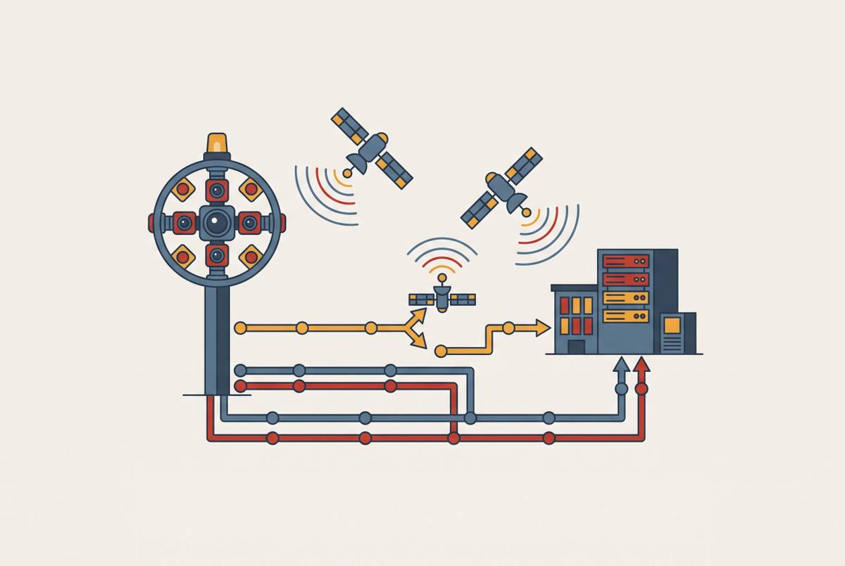
Digital Airport Traffic Control Tower Systems use cameras, sensors, dedicated displays, and support equipment to give Air Traffic Control Specialists a view of traffic. A Digital Tower Center replaces the controller’s view through tower windows with a digital view of the airfield. The controller need not work at the airport. This architecture separates the location from which traffic is observed from the location where the control service is delivered, without treating surveillance alone as a substitute for controller authority.
Infrared cameras, object tracking, zoom, and augmented reality overlays enhance visibility in poor weather or low-light conditions, while AI can assist in detecting potential conflicts or anomalies. These are support capabilities. Their operational purpose is to give controllers better information for traffic services. Sweden approved and introduced the first remote tower implementation providing aerodrome ATS in April 2015, establishing an operational history for the concept.
The FAA is changing its terminology from “Remote Tower” to “Digital Tower” to describe the technology independently of its location. The distinction expands deployment flexibility across on-site and off-site configurations. More importantly, the agency has specified that DT Systems may be installed at airports in Class E and G airspace that would like to transition to Class D airspace. That is the relevant regulatory pathway. It explicitly includes the airports that need to acquire sequencing authority, rather than limiting digital systems to replacements for existing towers.
For drone integration, the platform can serve as a ground-truth node for UTM coordination. Cameras and sensors show what is happening nearby, while drone identification and position information link that view to the wider traffic network. Controllers can then work from an integrated operational picture. This is the distinction between a monitoring installation and digital ATC infrastructure. The latter combines situational awareness with a service and airspace framework through which traffic can be advised and sequenced.
Why small airport economics make the coverage gap persistent without a new funding logic
Small airports lack control towers because the funding available does not cover the cost of building and staffing traditional towers. The FAA AIP Handbook allows Non-Primary Entitlement funds to be banked for up to four years, but that funding capacity remains far below traditional tower costs. Discretionary AIP grants may supplement entitlement funds, although they are competitive and limited. Capital availability is only part of the problem. A tower also introduces a staffing cost that cannot be resolved by accumulating a construction grant.
The wider infrastructure backlog makes that constraint harder to escape. ACI-NA estimates hundreds of billions of dollars in airport infrastructure needs for the 2025–2029 period. As supplemental federal airport funding declines after FY2026 with the IIJA cliff, AIP entitlements and discretionary grants become the primary federal capital-funding channels for non-hub airports. Small-airport traffic infrastructure must compete within that narrower funding environment.
Airports need far more hangar space than they have, yet they lack the money to build the infrastructure needed. As light GA users are pushed toward rural airports with fewer resources, they bring more manned traffic to fields least able to pay for better coordination. Drone traffic enters that same constrained setting. The resulting exposure is therefore shaped by both where aircraft can find space and where an airport has invested in surveillance or control services.
Drone operations could change the revenue logic through commercial UAS landing fees, real estate for vertiport and drone depot facilities, and data service hosting. Digital ATC infrastructure could make an airport a workable commercial drone node, so spending on safety could also bring in money beyond hangar rents. The economic test is consequently different from that of a traditional tower. A purpose-built digital platform must fit what a small airport can afford and allow the activity that can help make it worth the cost.
What the convergence of drone scale, BVLOS mandates, and airport economics demands from a digital tower platform
The FAA Aerospace Forecast 2025–2045 projects the commercial drone fleet reaching approximately 1 million units by 2026 under its base scenario, with regulation a primary driver of the trajectory. That fleet-wide scale establishes why platforms must be designed for recurring mixed operations. The system must link sensing and traffic-data integration to what controllers see and to the coordination they have authority to provide. A camera system alone does not meet that specification.
The first requirement is a real-time, comprehensive view of the airfield and surrounding airspace. Camera feeds, sensor data, Remote ID signals, and UTM position reports must converge into a single operational picture. The next requirement is actionable coordination. Controllers must be able to provide traffic advisories and sequencing direction that manned pilots and drone operators can use, within the authority established for the airport. Deployment therefore involves both the technical platform and the regulatory pathway for providing the service.
Mixed-traffic management is the operational test of that integration. BVLOS drones that follow pre-programmed paths and manned GA aircraft that fly under self-separation rules need a bridge between their different ways of coordinating. The platform must provide that bridge without requiring either class of operator to fundamentally change its equipment. Coverage must also extend beyond daylight hours. Logistics and public safety operations can run when a conventional staffed tower would be closed, so the operating model must support service during those periods.
The same architecture can augment existing Class D towers, provide redundancy during outages, and extend coverage to adjacent uncontrolled fields. Affordability remains a deployment condition. Capital costs must fit NPE grants, discretionary AIP, and emerging UAS revenue streams rather than reproduce the multi-million-dollar construction model of a traditional tower. U.S.-built infrastructure also helps keep the supply chain sound and meets federal priorities for what to buy.
The decisive platform criterion is whether these capabilities work as one service. Local surveillance must link to UTM coordination, the controller’s picture must help them give sequencing direction that operators can use, and the airport must be able to afford the coverage.